top of page

Document Downloads

Click on Image to See Full Size Map

0.Oneonta_WRA.png

Waterfront Revitalization Area

3.LandOwnership_OneontaLWRP.png

Land Ownership

6.Transportation_OneontaLWRP.png

Transportation

10.Historical_Cultural_OneontaLWRP.png

Historic & Cultural Features
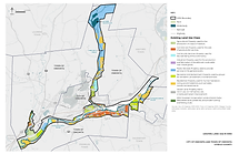
1.Existing_LandUse_OneontaLWRP.png

Existing Land Use

4. Wetlands_Floodplain_OneontaLWRP.png

Wetlands & Floodplains

7.AgDistricts_OneontaLWRP.png

Agricultural Districts

11. WasteToxicSites_OneontaLWRP.png

Waste & Toxic Sites

2.Existing_Zoning_OneontaLWRP.png

Existing Zoning

5. Surficial_Geology_OneontaLWRP.png

Surficial Geology & Soils

8.ParksRec_OneontaLWRP.png

Parks & Recreational Facilities

12. PublicUtilities_Infrastructure_OneontaLWRP.png

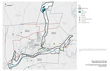
Public Utilities & Infrastructure

This website was prepared with funding provided by the New York State Department of State under Title 11 of the Environmental Protection Fund.

© Oneonta LWRP website prepared by Elan Planning & Design LLC (a NYS Certified WBE)

DOS_Logo_HighRes 2015.jpg
bottom of page